
Early Land Use
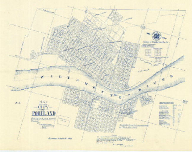
(1) Map of 1866
1851-1917
Portland’s political history goes back to the foundation of its City Council in 1851. And although the inception of physical planning was slow at first, modern Portland has become known as “the Capital of good planning” according to the father of Portland Planning, Carl Abbott (2). Portland’s land use planning history goes all the way back to 1890, when the City enacted its first building codes. These initial codes were vague, and they offered ample room for development as we will see in the years to come (3). As the city continued to spread out, Portland began to follow the footsteps of the well-known City Beautiful Movement around the turn of the 19th century (4).
Portland’s political history goes back to the foundation of its City Council in 1851. And although the inception of physical planning was slow at first, modern Portland has become known as “the Capital of good planning” according to the father of Portland Planning, Carl Abbott (2). Portland’s land use planning history goes all the way back to 1890, when the City enacted its first building codes. These initial codes were vague, and they offered ample room for development as we will see in the years to come (3). As the city continued to spread out, Portland began to follow the footsteps of the well-known City Beautiful Movement around the turn of the 19th century (4).
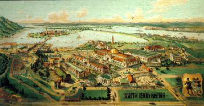
(5) 1905 Lewis & Clark Exposition Painting
In preparation of the Lewis and Clark Exposition of 1903, the City invited City Beautiful Landscape Architects to devise the first documented plan of Portland (3). Nearly a decade later in 1912, Portland implemented the Bennett Plan, a plan that took after the great Burnham Plan of Chicago, and further developed the City Beautiful Movement in Portland, leading to wide, expansive, diagonal street patterns, which ends up causing a lot of frustration for future land use planners (3).
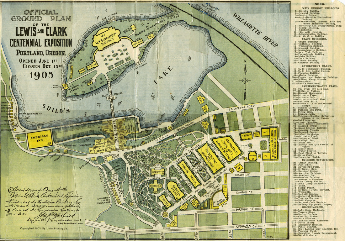
(6) Union Printing Official Ground Plan
|
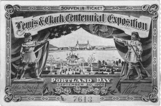
(7) Lewis & Clark Exposition Souvenir Ticket
|
1. (Image) "Map of the City of Portland, 1866 | Vintage Portland." http://vintageportland.wordpress.com/2010/10/26/map-of-the-city-of-portland-1866/ (accessed February 26, 2013).
2. Abbott, Carl. 2000. The Capital of Good Planning: Metropolitan Oregon since 1970. In The American Planning Tradition: Culture and Policy. Pp. 241-262. Ed. By Robert Fishman. Baltimore: Johns Hopkins.
3. McVoy, Arthur. "A History of City Planning in Portland, Oregon." Oregon Historical Quarterly 46, no. 1 (1945): 241-262. http://www.jstor.org/stable/20611594 (accessed February 16, 2013).
4. Abbott, Carl. Portland: planning, politics, and growth in a twentieth-century city. Lincoln: University of Nebraska Press, 1983.
5. (Image) "Margery Bare." Margery Bare. http://betterhomesnw.com/homepage/1900-1910portland/ (accessed February 27, 2013).
6. (Image) Union Printing. "Lewis & Clark Exposition Map, 1905 | Vintage Portland." http://vintageportland.wordpress.com/2012/03/28/lewis-clark-exposition-map-1905/ (accessed February 17, 2013).
7. (Image) "Lewis and Clark Exposition, 1905." USGenNet. http://www.usgennet.org/usa/or/county/clackamas/exposition.html (accessed February 26, 2013).
Jesse Ellison
